Cyclone Gabriel
Landpro's Role in Cyclone Gabrielle Recovery Projects.
Landpro has been successful in winning tenders for a number of post-Cyclone Gabrielle recovery projects. The projects, managed by Land Information New Zealand (LINZ) as the government's lead agency, focus on collecting key datasets to support the national recovery effort after the severe weather events of early 2023.

These projects aim to:
- Better understand the changes to the landscape caused by the extreme flood events.
- Evaluate the effectiveness of mitigation schemes.
- Aid in ongoing recovery work and contribute to future mitigation initiatives.
- Update the national elevation dataset.
Project Details:
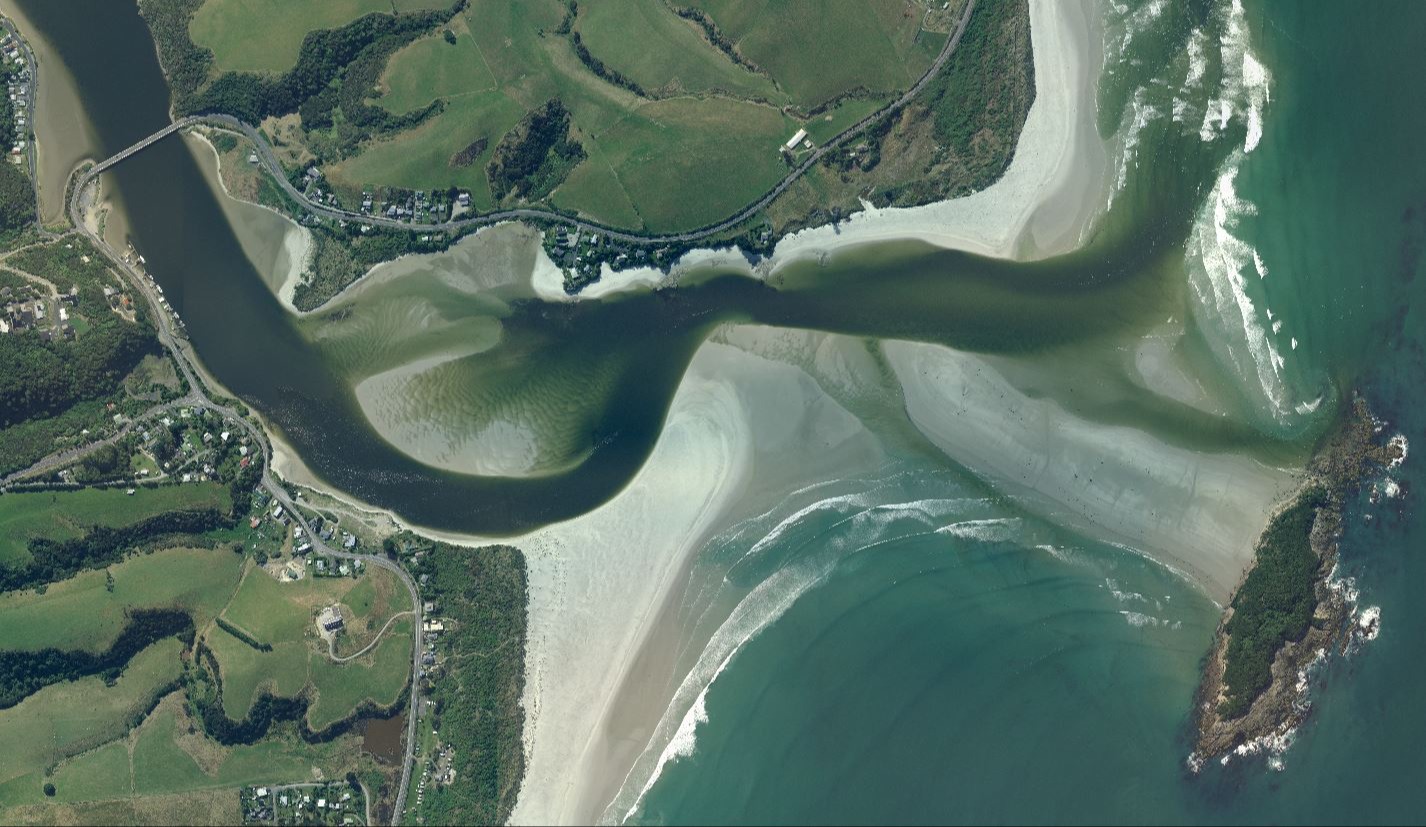
Aerial Imagery Collection This project involves collecting aerial imagery surveys of affected areas to understand landscape changes. The regions covered include:
- Northland
- Auckland
- Waikato
- Bay of Plenty
- Gisborne
- Hawke's Bay
- Horizons
- Wellington regions
Landpro used our ADS100 camera systems to acquire the specification meeting datasets in Northland, Waikato and Gisborne.
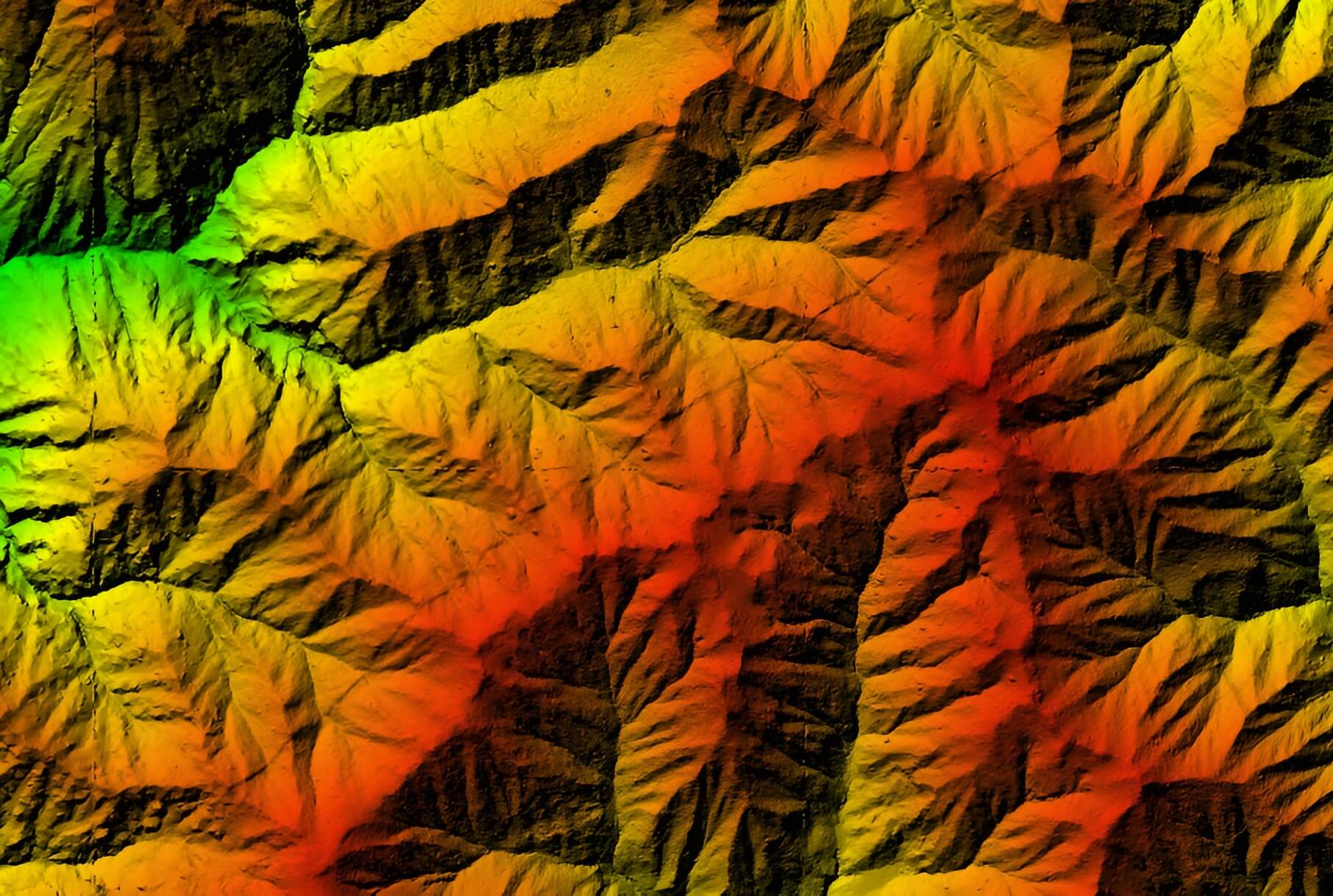
LIDAR Data Collection The LIDAR data collection projects focus on acquiring high-accuracy topographic data to quantify and understand the changes that occurred after the cyclone. This data will be compared to pre-event LIDAR data. The projects cover:
- East Coast: Hawke’s Bay and Tairāwhiti (Gisborne)
- North Island Weather Events: Northland, Auckland, Waikato, Bay of Plenty, and Horizons
Landpro used our Leica Terrain Mapper 2 sensor to provide the LiDAR with co captured 12.5cm imagery datasets for Tairāwhiti (Gisborne), Waikato and Northland
Deliverables for the LIDAR projects, as per the New Zealand National Aerial LIDAR Base Specification v1.2, include:
- A classified point cloud
- A 1m gridded bare earth digital elevation model (DEM)
- A digital surface model (DSM)
- Breaklines for hydro-flattened features
- Automated classification of buildings and vegetation from non-ground points
Landpro also supplied canopy height models and orthorectified RGBN imagery at 12.5cm GSD.
These projects underscore our commitment to supporting New Zealand's recovery and delivering essential geospatial data that will be instrumental in the country's ongoing and future resilience efforts.
Aerial Case Studies.
Otago Imagery
The Otago Regional Council (ORC), acting as an agent for the Otago Aerial Imagery (OAI) consortium, issued a Request for Quotes (RFQ) for the supply of colour digital orthorectified imagery and other imagery products.
Whanganui LiDAR
The project's primary objective was to acquire aerial LIDAR data for the Whanganui River catchment, which covers approximately 8,000 square kilometers.