Otago Imagery
The Otago Regional Council (ORC), acting as an agent for the Otago Aerial Imagery (OAI) consortium, issued a Request for Quotes (RFQ) for the supply of colour digital orthorectified imagery and other imagery products.

The project involved capturing imagery of the complete Otago region. The OAI consortium includeded the Central Otago District Council, Clutha District Council, Land Information New Zealand, and Queenstown Lakes District Council.
The project required the provision of both natural color (RGB) and four-band (RGBI) orthorectified aerial photography. The imagery also had to meet specific technical and quality standards, including:
- Being 100% cloud-free.
- Having a minimum sun angle of 40 degrees for rural areas and 45 degrees for urban areas.
- Being orthorectified to the New Zealand Transverse Mercator (NZTM2000) projection using the New Zealand Geodetic Datum 2000 (NZGD2000).
- Water features must be acquired during low tide periods.
- Imagery must be delivered in uncompressed GeoTIFF and ECW compressed formats.
The final delivery of services was expected by April 30, 2025.
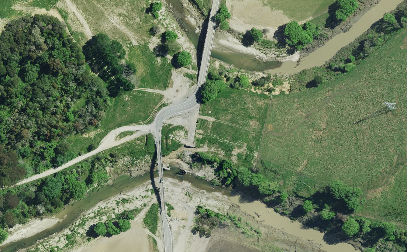
A December project award meant a short window of remaining sun angle in the Southern latitude. The Landpro Limited Aerial team, who all live in Central Otago, took a two plane approach to ensure we could maximise capture on the remaining good days of summer when available.
We took two Leica ADS100 cameras, each taking terrabytes of RGBN image carpets each day, were able to mop up the massive area in just over two months, with delivery to the clients (ORC) another couple of months later. The Leica ADS100 cameras have fantastic radiometry for this rural work, showcasing the true colours that makes the NZ landscape famous.
A big thank you to Otago Regional Council for the opportunity to perform the services in our own backyard, in a region we all love!!
Aerial Case Studies.
Cyclone Gabriel
The projects, managed by Land Information New Zealand (LINZ) as the government's lead agency, focus on collecting key datasets to support the national recovery effort after the severe weather events of early 2023.
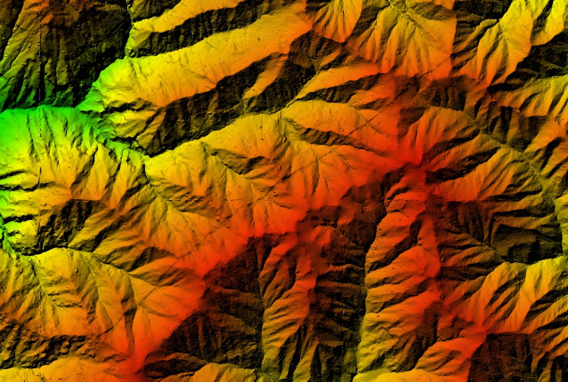
Whanganui LiDAR
The project's primary objective was to acquire aerial LIDAR data for the Whanganui River catchment, which covers approximately 8,000 square kilometers.