Whanganui LiDAR
Whanganui River Catchment LIDAR Data Collection
Landpro Limited succesfully responded to a Request for Tender (RFT) for the Whanganui River Catchment LIDAR Data Collection project. This project is a key part of the PGF-LiDAR programme, with the successful supplier being contracted by Ngā Tāngata Tiaki o Whanganui (NTT), with Land Information New Zealand (LINZ) managing the RFT process.

Landpro Limited succesfully responded to a Request for Tender (RFT) for the Whanganui River Catchment LIDAR Data Collection project. This project is a key part of the PGF-LiDAR programme, with the successful supplier being contracted by Ngā Tāngata Tiaki o Whanganui (NTT), with Land Information New Zealand (LINZ) managing the RFT process.
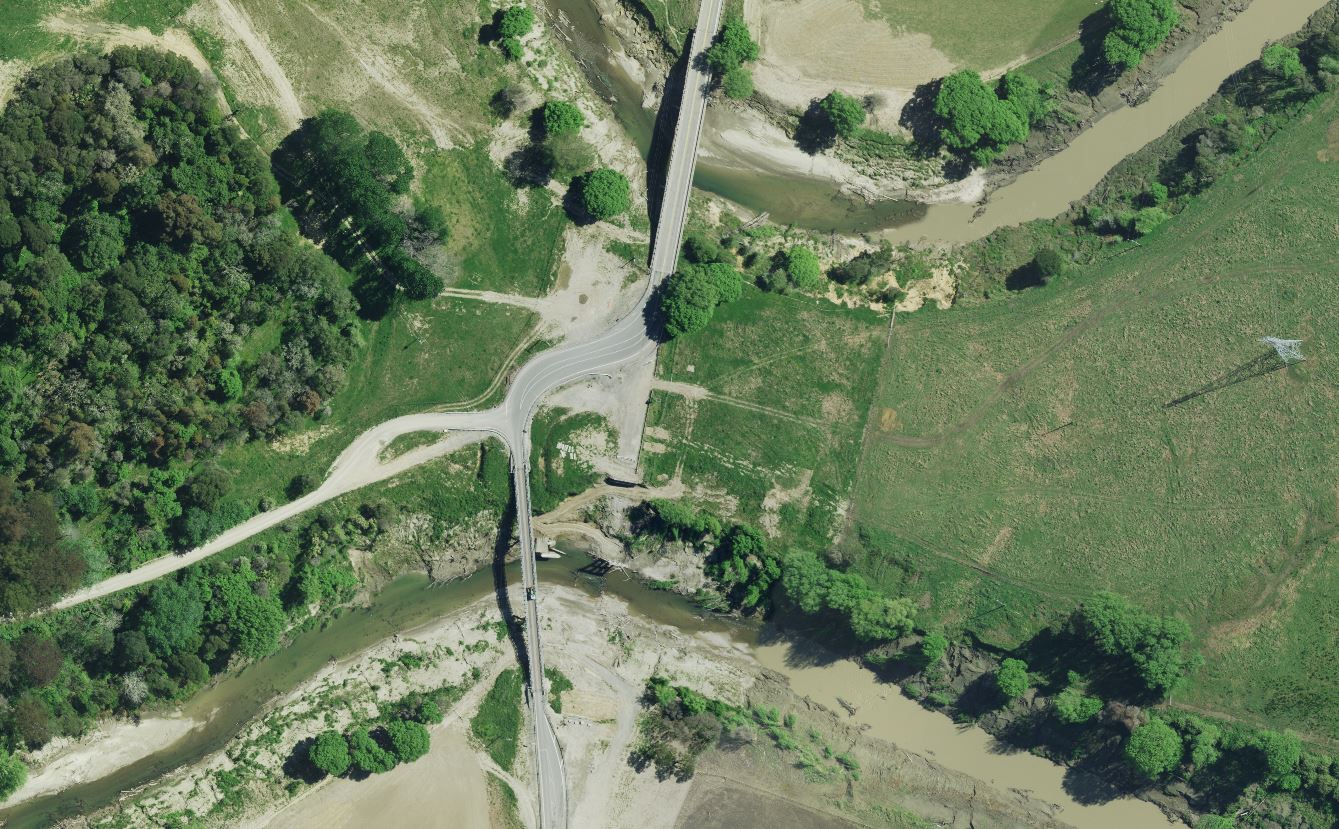
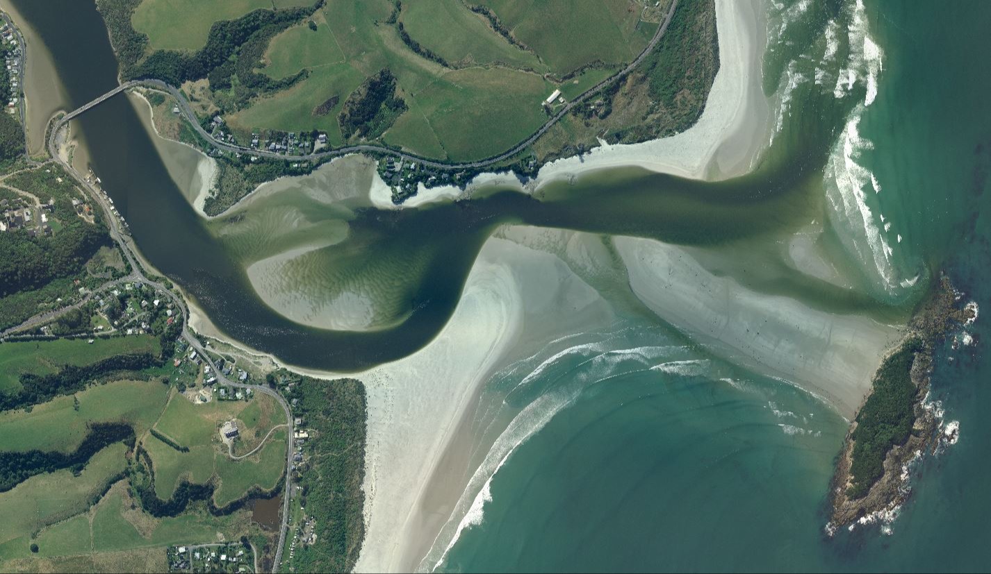
The project's primary objective was to acquire aerial LIDAR data for the Whanganui River catchment, which covers approximately 8,000 square kilometers. The data is intended for environmental management and will serve to expand the New Zealand national LiDAR coverage.
Key aspects of our proposed solution.
- Technology: Using one of our Leica Terrain Mapper 2 LIDAR sensor and a co-located Leica RCD30 camera in one of our Cessna 206 aircraft.
- Data Density: The project requires an 8 LIDAR pulses per square meter data density, and our flight planning focussed on improving ground returns, especially under dense vegetation.
- Deliverables: Required deliverables include a classified point cloud, a 1m gridded bare earth digital elevation model (DEM), and a digital surface model (DSM). Optional deliverables, such as orthophotos, are also an option.
- Experience: We bring over a decade of experience in delivering similar projects to LINZ and regional councils.
This project highlights our commitment to delivering high-quality, specification-exceeding datasets.

Aerial Case Studies
Cyclone Gabriel
The projects, managed by Land Information New Zealand (LINZ) as the government's lead agency, focus on collecting key datasets to support the national recovery effort after the severe weather events of early 2023.
Otago Imagery
The Otago Regional Council (ORC), acting as an agent for the Otago Aerial Imagery (OAI) consortium, issued a Request for Quotes (RFQ) for the supply of colour digital orthorectified imagery and other imagery products.