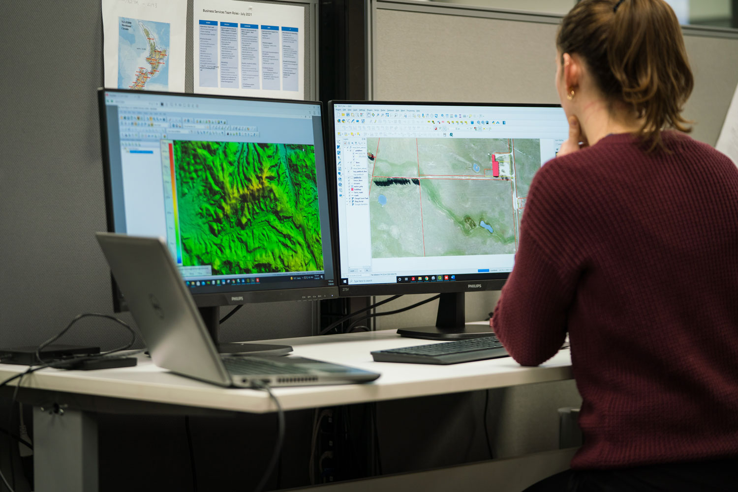
The Ministry for the Environment has announced a $1.2 million contribution toward the Otago Regional Council’s project to complete LiDAR mapping across the region, bringing Otago to 100% coverage once the work is finished.
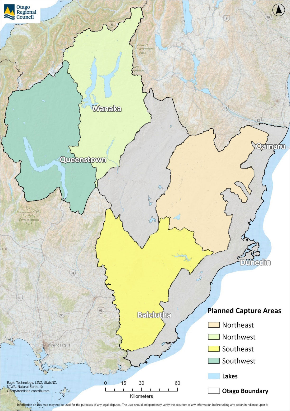
Otago — along with parts of Fiordland, has been one of the last regions without full LiDAR datasets. The new project will capture an additional 23,000 sq km over Otago’s inland and alpine lake areas, adding to the existing 10,200 sq km already mapped.

LiDAR provides highly accurate elevation data essential for:
- Natural hazard analysis
- Flooding, erosion, and landslip assessments
- Infrastructure planning
- Hydrology and catchment management
Flights have already begun in the Southwest quadrant, including the Queenstown area. The full project is expected to take 2–3 years, with data to be publicly available once processed.
Landpro welcomes this investment, which will significantly enhance the region’s spatial data and support better environmental and development outcomes for communities across Otago.